Humminbird
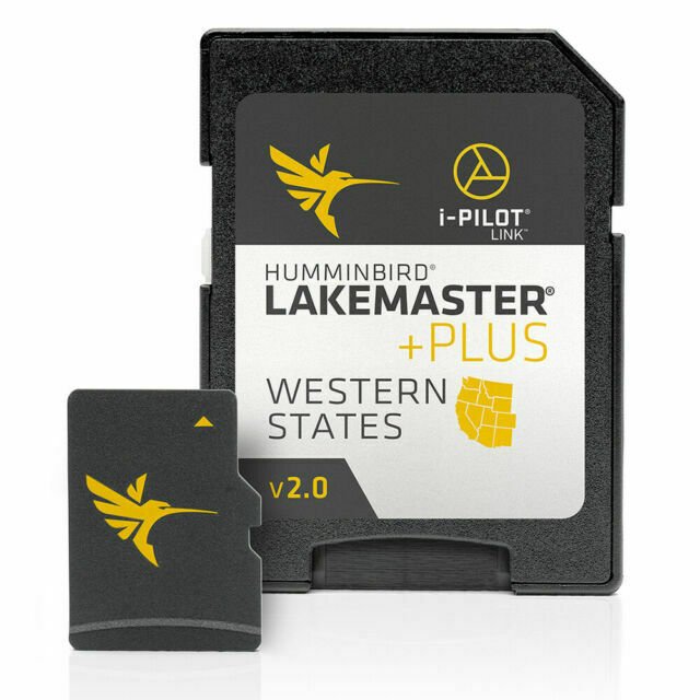
Humminbird 600011-5 LakeMaster Plus Western States V2 Digital GPS Maps Micro
Humminbird 600011-5 LakeMaster Plus Western States V2 Digital GPS Maps Micro
Couldn't load pickup availability
LakeMaster PLUS - Western States - Version 2For an added angling advantage, opt for Humminbird LakeMaster PLUS. These maps include all of the features of LakeMaster with one key addition: aerial photography of high definition lakes, providing visibility to docks, buildings, and structure. You also get the choice of how you view the aerial imagery: • AERIAL ONLY - Satellite view over all land and water, no map data • LAND AERIAL + LAKEMASTER MAP - Satellite over land surrounding lake, LakeMaster map on water area• FULL AERIAL + CONTOURS OVERLAY - Satellite over land and water, contour data overlay on waterOnce package has been opened this item is no longer returnable.The PLUS series allows for aerial image overlay on high-definition waters giving you the ability to use quality aerial photography to view the entry and exits of creek channels, see how far a reef or weed line extends, and pick out shallow water rock piles, steep drop-offs or other features of the lake you’ve been missing from traditional mapsVersion 2 includes an additional 42 High Definition lakes since the last versionPopular High Definition lakes include Clear Lake, Don Pedro Reservoir, Isabella, Oroville, Pleasant, Shasta and many morencluded features such as Depth Highlight, Shallow Water Highlight and Water Level Offset can be used exclusively with Humminbird fish findersLakeMaster cards are compatible with all GPS-equipped HELIX, SOLIX, ONIX and ION Series models, along with select 600-1100 Series models
Features
- The PLUS series allows for aerial image overlay on high-definition waters giving you the ability to use quality aerial photography to view the entry and exits of creek channels, see how far a reef or weed line extends, and pick out shallow water rock piles, steep drop-offs or other features of the lake you’ve been missing from traditional maps
- Version 2 includes an additional 42 High Definition lakes since the last version
- Popular High Definition lakes include Clear Lake, Don Pedro Reservoir, Isabella, Oroville, Pleasant, Shasta and many more
- ncluded features such as Depth Highlight, Shallow Water Highlight and Water Level Offset can be used exclusively with Humminbird fish finders
- LakeMaster cards are compatible with all GPS-equipped HELIX, SOLIX, ONIX and ION Series models, along with select 600-1100 Series models
Fast Shipping
We get your order shipped out within 2-business days and delivered to your doorstep as quickly as possible.
Competitive Pricing
With our dynamic pricing model, our prices are always competitive. Our prices are some of the lowest that you will find on the internet. Rest assured that you're getting a good deal when purchasing with us.
30-day Money Back Guarantee
We are committed to making sure that you leave this transaction satisfied. If you're unhappy with the product for any reason, you may return it back for your money-back or a replacement within 30 days, just return it in the same condition we sent it to you. No questions asked!
Share