Humminbird
Maps Humminbird LakeMaster Northeast V2 Electronic Chart
Maps Humminbird LakeMaster Northeast V2 Electronic Chart
Couldn't load pickup availability
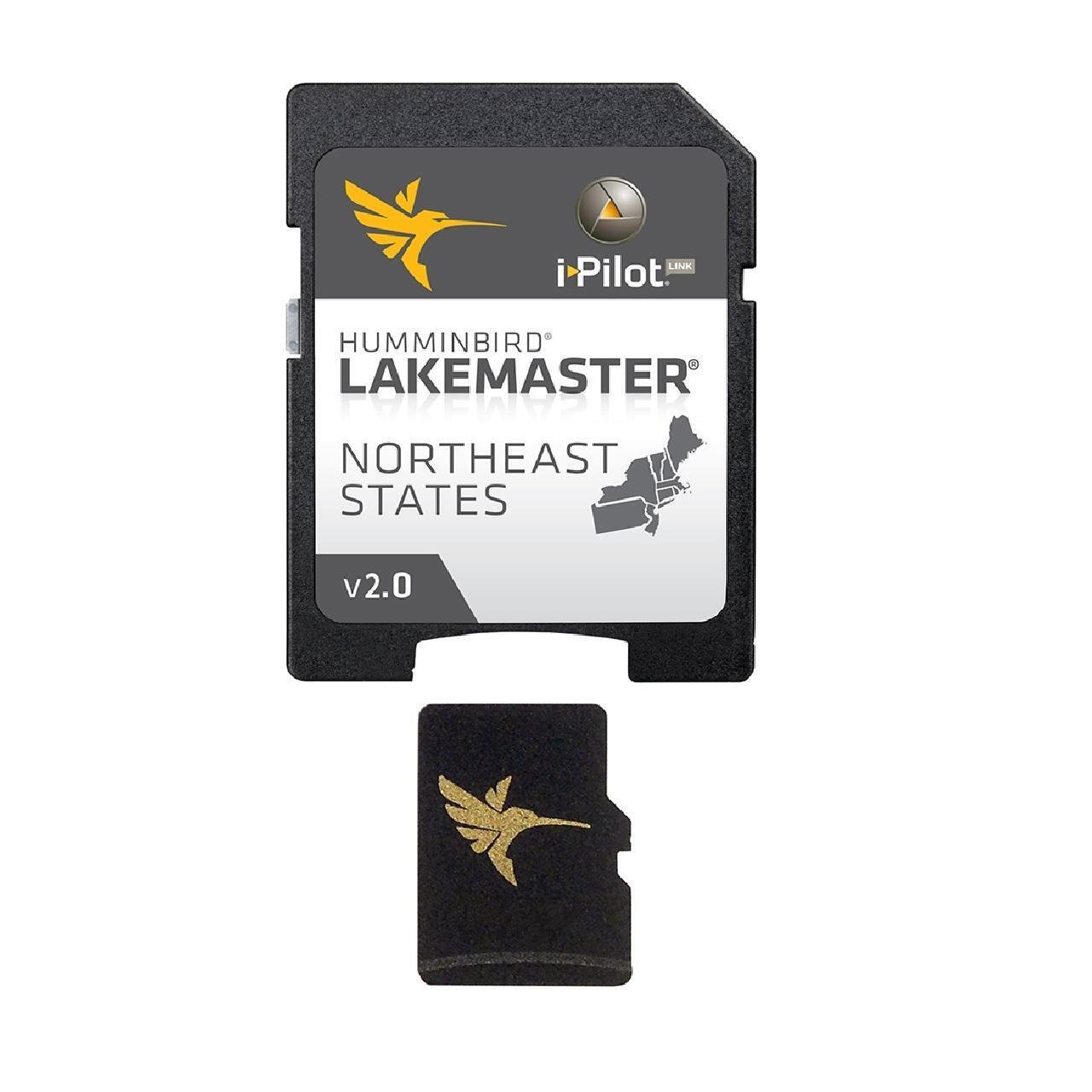
LakeMaster Chart - NorthEast - Version 2The Humminbird LakeMaster NorthEast Edition, Version 2, micro map card with SD adapter has added over 200 new lakes since the prior version - 27 in High Definition – and boasts more than130 High Definition lakes and over 1,700 total lakes from PA, NJ, NY, CT, MA, VT, NH and ME. • Newly surveyed waters in ME include - Annabessacook, Big Pond, Chickawaukie, Crescent, Maranacook, Messalonskee, Panther Pond, Parker Pond, Pleasant, Sabattus, Sebago, Thomas Pond, Three Miile Pond, Unity Pond, and Wilson Pond.• Newly surveyed waters in NY include - Cayuga, Oneida, Seneca, Six Mile, St. Lawrence Iroquois to Moses, and Thousand Islands.• Newly surveyed waters in PA, VT and NH include - Chambers, Raystown, St. Lawrence Moses East, Champlain and Ossipee.• LakeMaster SD/micro cards include features such as Depth Highlight, Shallow Water Highlight and Water Level Offset, which can be used exclusively with Humminbird fish finders• Can be used with Minn Kota i-Pilot Link, allowing you to “Follow” a selected depth contour line, delivering precise, automatic boat control• Scrollable lake list allows you to view and research lakes from your Humminbird fish finder on and off the water• Opened packages are not eligible for return.• LakeMaster cards are compatible with all GPS-equipped HELIX, SOLIX, ONIX and ION Series models, along with select 600-1100 Series models.• Once package has been opened this item is no longer returnable.Maximize every moment of fishing when you upgrade to the unrivaled accuracy and detail of Humminbird LakeMaster mapping, which features easy-to-read contours, highlighted depth ranges, and scrollable lake lists.This Northeast States Edition, Version 2 boasts more than 130 high-definition lakes and over 1,700 total lakes from PA, NJ, NY, CT, MA, VT, NH, and ME, adding over 200 new lakes since the prior version (27 in high definition).Easy-to-see shading highlights shallow-water areas within an adjustable range up to 30 feet, and depth contours and shorelines can be synchronized with the actual water levels of lakes, reservoirs, and rivers.LakeMaster digital maps can be used with Minn Kota i-Pilot Link (sold separately), allowing you to follow a selected depth contour line to deliver precise, automatic boat control.LakeMaster digital maps come on a Micro SD card (with included SD card adapter) that's compatible with all GPS-equipped HELIX, SOLIX, ONIX, and ION Series models and select 600-1100 Series models.
Fast Shipping
We get your order shipped out within 2-business days and delivered to your doorstep as quickly as possible.
Competitive Pricing
With our dynamic pricing model, our prices are always competitive. Our prices are some of the lowest that you will find on the internet. Rest assured that you're getting a good deal when purchasing with us.
30-day Money Back Guarantee
We are committed to making sure that you leave this transaction satisfied. If you're unhappy with the product for any reason, you may return it back for your money-back or a replacement within 30 days, just return it in the same condition we sent it to you. No questions asked!
Share